
Peoria Neighbors Block Sources
Official sources describe land, recorded interests, public map layers, and registered civic groups. None is a complete household list. The county parcel geometry gives the safest starting frame because it shows which lots are actually next door. A tax name can then be read as the owner field, not assumed to be a current occupant. Historic directories add a dated view of the block rather than a live roster.
| Source | What It Shows About a Block | Access |
|---|---|---|
| Peoria County GIS parcel geometry | Adjacent lots, PINs, situs and owner fields, legal lines, and map overlays | Public viewer and ArcGIS query; inspect each parcel |
| Property Tax Inquiry | Tax owner, owner mailing address, situs, assessment, and sale filters | Free public web form |
| EagleWeb | Recorded transfers and liens tied to a parcel or legal description | Public index; document image or copy confirms the entry |
| City and county GIS layers | Neighborhood, boundary, subdivision, zoning, flood, historic, and code context | Public city and county map services |
| Neighborhood programs | Registered-group context, programs, and public contacts | City information pages; no universal membership list |
| PPL and PCGS directories | Historical street occupants and businesses by year | Library and society collections |
Use the source date in every note. A parcel map establishes lot geometry. The tax portal reports its owner and mailing fields. EagleWeb identifies parties to a recorded instrument. None of those statements alone answers who your neighbors are today. A person may own a parcel but live elsewhere, and occupants who do not hold title may not appear at all.
Map Peoria Neighbors by Parcel
Open the Peoria County Front Desk GIS and locate the known address or PIN. The inspected county service supports parcel, StreetCenterline, PIN, and ParcelPoint tools. It does not document a one-click neighbors button. The reliable method is to identify one polygon, then click each touching or nearby polygon in turn.
- Locate the starting address and record its PIN, situs address, and legal lot lines.
- Click the parcels that touch it, face it, or share the same short block segment.
- Record each neighboring PIN and situs separately. Do not copy one owner's data across a lot line.
- Check each PIN in the tax portal and label the owner mailing address apart from the property address.
- Add only relevant map context, such as a subdivision, municipal line, flood layer, or historic district.
The ArcGIS service also supports geometry queries for a wider area, but a map result should not become a published block roster. Use map browse for a small, lawful question. When the task expands to a whole road and its record chain, use the Peoria street directory workflow.
Peoria Neighbor Property Fields
The Peoria County Property Tax Inquiry accepts a parcel number, owner name, house number, street name, and city. A low-detail house and street query often works better than a fully styled address. Search hints say too much exact text can return no result. The parcel PIN is the strongest bridge between the map and tax detail.
Keep four labels in the notes: the situs or physical property address, the owner's mailing address, the recorded legal description, and the postal ZIP. A mailing address outside the block is common and does not disprove ownership. A postal name can also cross a city line. These field distinctions prevent a Peoria neighbor search from turning a tax entry into an unsupported claim about residence.
- PIN
- The county parcel identification number used to join map and tax records.
- Situs address
- The location assigned to the property, which may differ from the owner's mail address.
- Legal description
- The lot, block, subdivision, or metes-and-bounds text defining the land.
Peoria Neighbors Map Layers
The Peoria County Administrative GIS service adds municipal boundaries, subdivisions and associations, land use, schools, and ZIP polygons. City GIS adds tax parcels, zoning, historic districts, flood areas, snow routes, incentive zones, and code-enforcement context. These layers explain a block's setting without exposing private household facts.
The administrative service pictured below is the manifest source for the Peoria neighbors map layer.
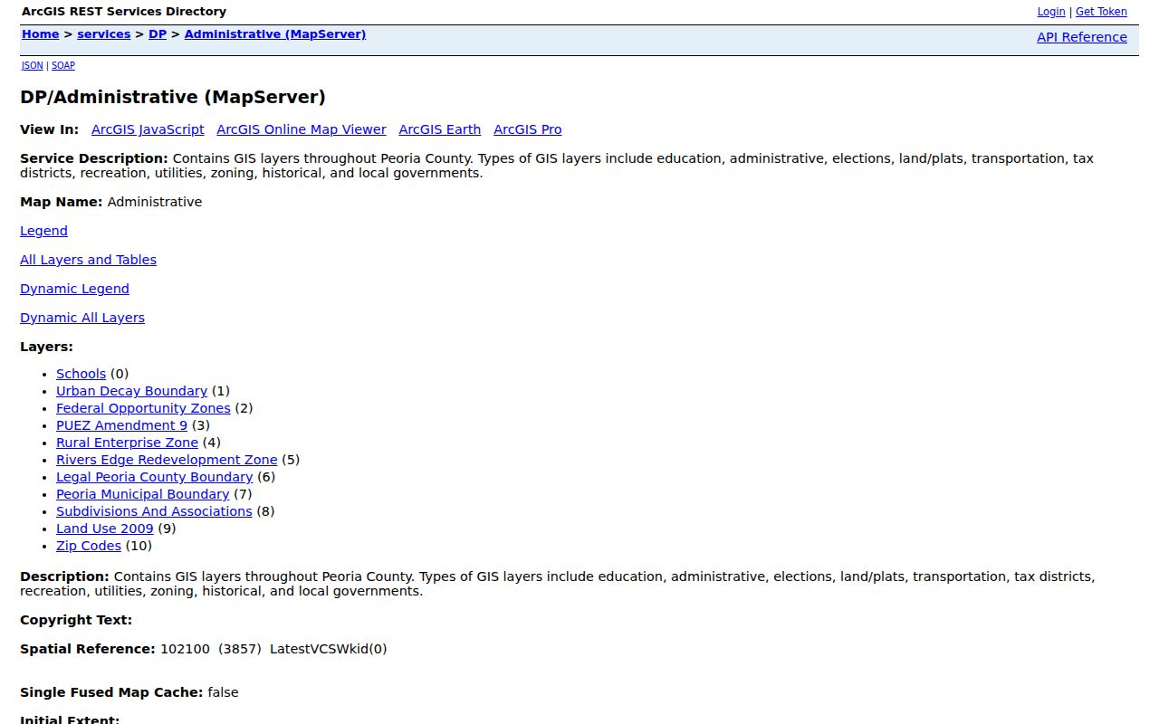
Turn layers on one at a time and note their date or service name. A boundary overlay can clarify why two nearby lots use different city services.
Find Peoria Neighborhood Contacts
The city recognizes many neighborhood labels, including East Bluff Community, Glen Oak Park, Heart of Peoria, Historic Olde Towne, North Prospect, Orchard District, Richwoods/Northmoor, Southside Up!, University East, Uplands, West Central, and Westwood. A label in GIS is community context. It is not proof that a group is active or that every nearby parcel belongs to it.
The City Neighborhood Information page provides the public path shown below.
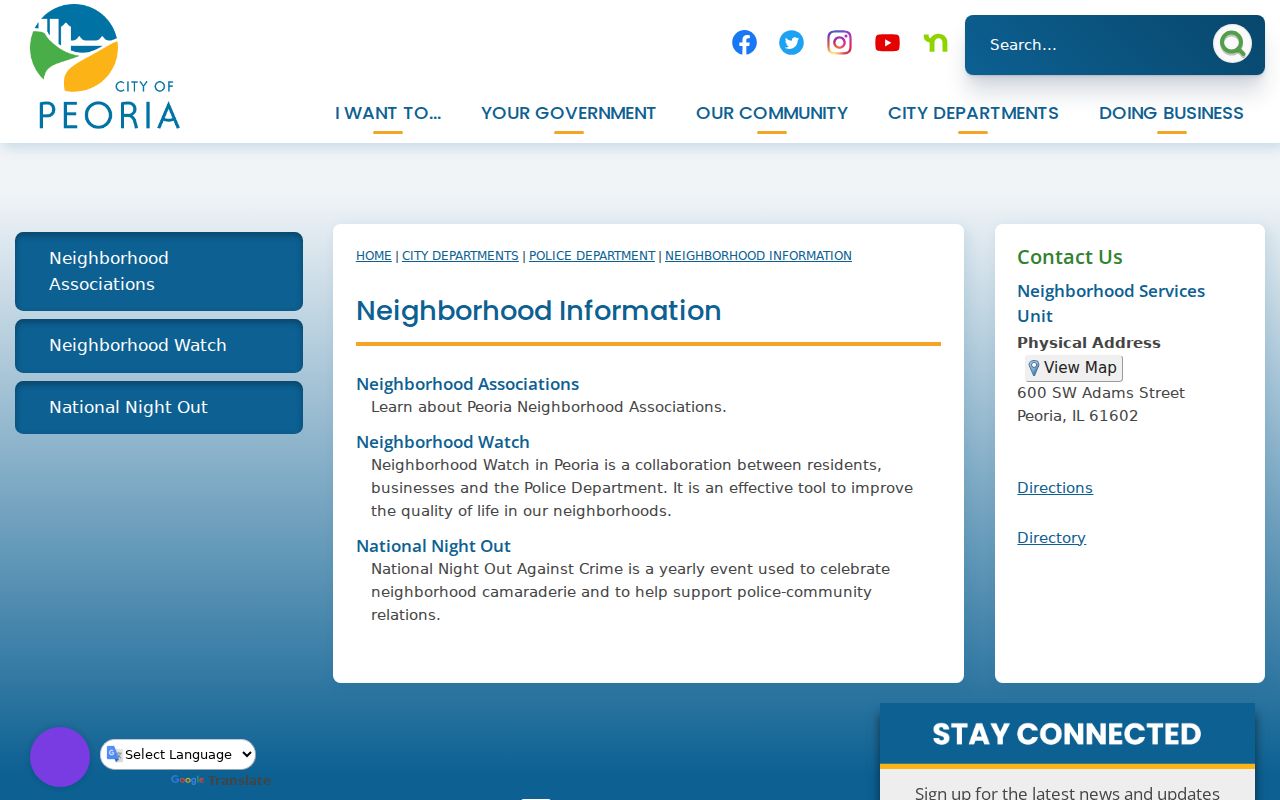
Use a listed public contact or meeting notice to ask about open events and block concerns. Do not ask for a private member roster.
Programs for Peoria Neighbors
The Neighborhoods and Assistance Programs page says registered groups may receive mini-grants up to $5,000 and two dumpster uses per year. It also describes tax-abatement context for the Southside and North Valley urban-decay areas. Those program facts show how the city works with organized blocks. They do not reveal which households joined.
The city program page pictured below can help Peoria neighbors find an official community route.
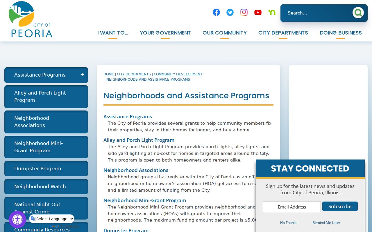
A group contact can answer public questions about meetings, grants, cleanup days, or Neighborhood Watch without sharing private names.
Peoria Neighbors Code Context
City code records add a narrow property layer. The Code Violation Court can show a cited site, inspection date, inspector, fine, and hearing date. Administrative hearings publish dated code or environmental docket material. These are case records, not proof that a current owner or neighbor caused a condition.
The Code Violation Notification System accepts a parcel number for abatement and work-order notices.
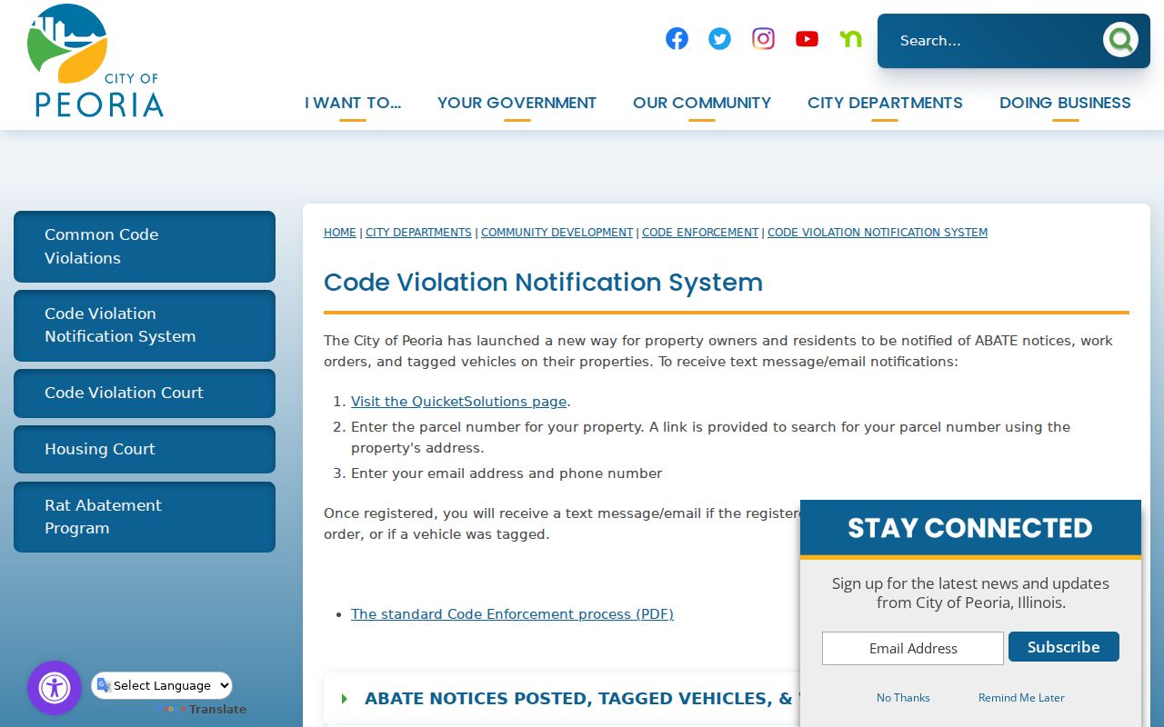
Use the exact PIN and case date, then verify the underlying city record before connecting a notice to any named person.
Note: A code notice reports an administrative event at a parcel, not a full property history or a household finding.
Peoria Neighbor Records Compared
Commercial neighbor tools may merge names, reuse stale address histories, or miss recent changes. Official sources are narrower, but each field has a known custodian and purpose. That makes them easier to date and correct.
| Source type | Useful evidence | Main limit |
|---|---|---|
| County parcel and tax records | Lot, PIN, situs, and tax owner | Not a complete occupant list |
| City and county map layers | Boundaries and civic or land context | Layer names may outlive active groups |
| Commercial compilations | Possible lead for further checking | May be stale, merged, or unclear about sources |
For Peoria neighbors, prefer a dated parcel result and a public city contact. Treat any compiled name as unverified until an appropriate original source supports it.
Protect Privacy of Peoria Neighbors
The state voter status form is not a block roster. It requires a person's first and last name, birth date, ZIP, street number, and selected street name, then returns that person's registration and polling details. Illinois limits voter-file release and redacts sensitive fields from public copies. Personal use of the statewide or local voter data file is not an approved route for identifying every person nearby.
Renters, children, other household members, utility customers, delivery recipients, DMV addresses, and unlisted contact details stay outside the official block method. The Illinois Address Confidentiality Program can provide a substitute address for qualifying survivors. It cannot erase old records, so current and historical exposure must be treated with care.
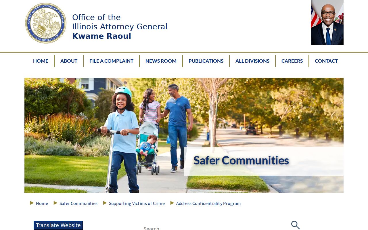
The Illinois Attorney General ACP page is the source pictured below.
The program offers a safety route, not a public clue to a participant's actual location.
Lawful use. Use neighbor records for civic awareness, a property question, or safe reconnection. Do not watch, harass, intimidate, or publish sensitive facts about anyone.