
Walk a Peoria Street by Record
Begin with the address, not a guess about a person. Peoria County keeps the current parcel key in its tax and GIS systems. That key is the PIN, or parcel identification number. It links the mapped lot, situs address, assessment fields, and legal description. The tax owner may receive mail elsewhere, so the owner mailing field cannot establish who occupies the site. Recorded instruments then show who granted or received an interest in the land. Historical directories add dated residence clues, but each printed year is only a snapshot.
The Peoria street directory workflow moves from the least ambiguous location field toward person names. Keep a source date beside every result. A current map, an older deed, and a printed directory may all be accurate while describing different moments or different kinds of connection to the parcel.
- Enter the house number and plain street name in the Peoria County Property Tax Inquiry. Use fewer fields when an exact entry finds nothing.
- Open the matching parcel in county GIS. Record the PIN, situs address, owner field, legal description, and adjoining parcel shapes.
- Use the owner name and legal description in EagleWeb. Work backward through grantees and grantors, then inspect the recorded instrument.
- Use the Illinois voter lookup only for a self or authorized status check with all required identity fields. It is not a public street roster.
- For a past household, ask the library or genealogy society for a street-indexed directory year and verify the printed page.
Search Peoria Parcels With Less
The Peoria County Property Tax Inquiry says at least one field is required. A PIN, with or without dashes, is the cleanest exact key. For an address, enter the house number and street name without a directional or suffix where possible. The portal warns that less information can return more matches. Exact tax-bill spelling matters for an owner search, and an overfilled form can hide the right record.
Results are assessment records, not a title opinion or an occupancy list. Sales filters help compare parcel events, while advanced geography and tax-year controls help survey a larger section of the Peoria street directory.
| Search area | Fields available | Best street use |
|---|---|---|
| Basic | PIN, owner, house number, street, city | Find one parcel or all close street matches |
| Sales | Minimum and maximum price; date range | Compare reported parcel sales along a street |
| Advanced | Township, district, class, subdivision, tax years | Narrow a block or subdivision without a ZIP field |
| Mobile home | Home number, owner, site address | Use the separate mode instead of assuming a land parcel |
Note: The tax portal displayed an August 21, 2026 data update during research, so later searches should record their own retrieval date.
Browse Peoria Streets in GIS
County GIS turns the address list into parcel geometry. The public cadastral layer exposes PIN, owner and mailing fields, property street, city, ZIP, class, neighborhood, legal description, building traits, assessed values, acreage, and sale fields. The Locators service includes StreetCenterline, ParcelPoint, PIN, and Composite tools. Clicking one polygon at a time is safer than assuming adjacent house numbers share the same lot pattern.
The Peoria County cadastral parcel layer also supports geometry queries and pagination. Its public limits are 5,000 records per response and 2,000 selected features. That is enough for a focused street segment, but not a reason to treat a raw export as a list of residents.
The manifest capture of the official parcel data layer shows the source used for PIN and address fields.
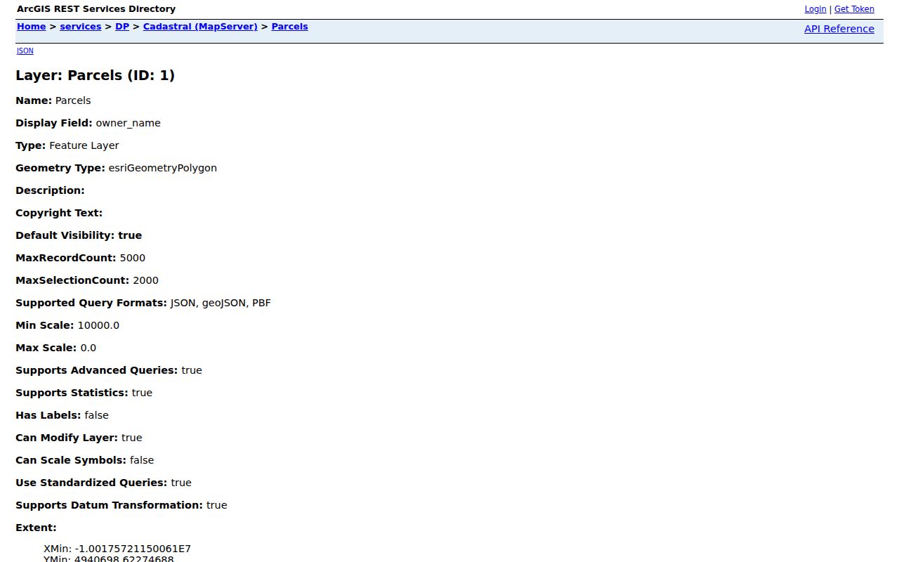
The layer is most useful as a map key: copy the parcel identifier and then verify ownership through the tax portal and recorded instrument.
Four Peoria Address Fields
Several official systems may display the same Peoria location differently. City Public Works assigns new addresses inside city limits. County GIS and E-911 handle corrected or outside-city addressing. USPS validates delivery addresses and ZIPs. Tax and deed systems identify land by a parcel and legal description. This geography distinction is a Profile 3 interest feature: four authorities can stand behind one everyday address.
- Parcel
- A mapped unit of land identified by a county PIN.
- Situs address
- The physical property location shown in tax or GIS data.
- Plat
- A recorded map that defines lots, blocks, boundaries, or a subdivision.
- Criss-cross directory
- A historical directory arranged by street and house number instead of only by surname.
A mailing address can be outside the site. A postal ZIP can cross a municipal line. The legal description controls land identity when a street name or number changes.
Follow Peoria Deeds by Address
The Peoria County Recorder's EagleWeb index links names to instruments rather than directly to current occupants. Official help describes current all-field searching from 1987 forward. Documents from 1819 through 1986 use document number, Book/Page, or historical indexes, while the About page says data and images are available from December 12, 1913. Those cutoffs explain why a modern search box can miss a valid older chain.
Search a current owner as grantee, then move backward to the prior grantor. Search that person forward as grantor and compare the subdivision, block, lot, and legal description. EagleWeb supports wildcards, required and excluded terms, dates, document types, reception number, and Find Related references. Always open or order the underlying deed or plat because the county calls the web index a guide.
Online index searching is free. The recorder listed $15 document printing and separate subscription prices during research. Public-search stations at 324 Main Street operate during posted weekday counter hours; phone 309-672-6090 before a special trip.
Peoria Street Records Compared
No one record completes a Peoria street directory. Each source answers a narrow address question, and each has an online, counter, or request route when a portal falls short.
| Record Set | Keeper | What It Shows | Access |
|---|---|---|---|
| Property and tax | Peoria County | PIN, owner, mailing and situs fields, assessment | Free portal; courthouse staff |
| GIS parcel map | County GIS | Parcel geometry, legal and building fields, map layers | Free viewer and REST service |
| Deeds and liens | County Recorder | Parties, instrument date/type, legal references | EagleWeb; public terminal; copies |
| Address assignment | City Public Works or county GIS/E-911 | New or corrected official site address | Application, mail, fax, phone, or office |
| Permits and code | City departments | Regulated activity, site, case and hearing details | Category page or narrow FOIA request |
| Historical directory | PPL and PCGS | Dated residence, business, and occupation clues | Online guides, staff lookup, in person, or mail |
County FOIA is available for non-indexed assessment, GIS, or administrative material, but it does not replace a recorder instrument search. Library and archive staff can bridge an older street name or an image that OCR failed to read.
Peoria Site Permits and Hearings
City records add events tied to a property. Peoria has no single general business registry, so use the right permit category. Liquor, mobile food, peddler or solicitor, hotel or motel, short-stay, taxicab, gaming, construction, and event records have separate routes. Code Violation Court material may show the cited property, inspection date, hearing date, fine, and disposition.
The city permit and license page is the official category map.

Choose the activity first, then request by exact site address, date span, and case or permit number where known.
The Peoria Code Violation Court provides the address-based hearing route.
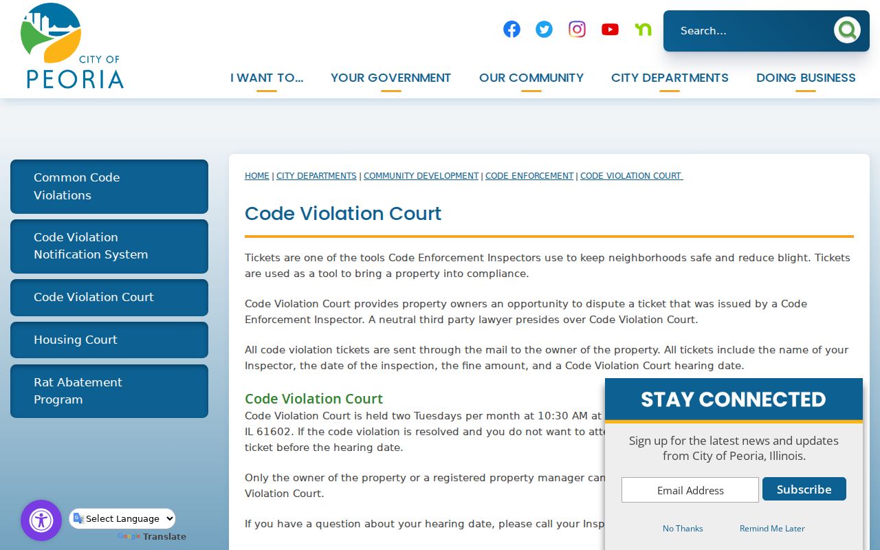
A code case connects an address to a proceeding. It does not identify every person at the property.
Who Assigns Peoria Street Addresses
Inside Peoria city limits, Public Works assigns all new addresses. A complete request has a posted two-business-day turnaround and may be mailed or delivered to 3505 N. Dries Lane, faxed, or sent through the city contact route. County GIS handles rural or corrected E-911 addresses outside Peoria and Chillicothe limits. USPS remains the authority for postal delivery.
The New Addresses and Properties page shows the city process.
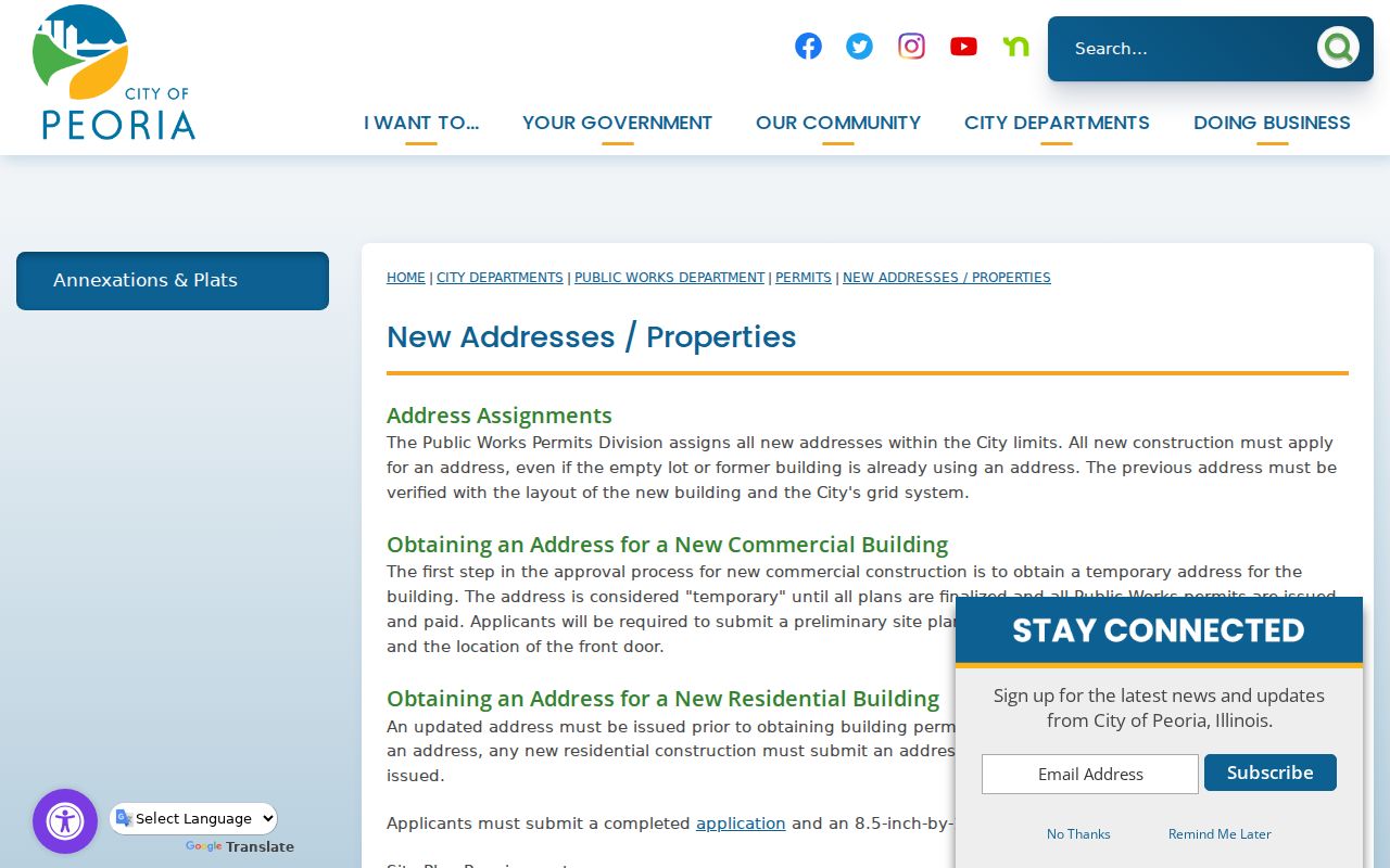
This split helps explain a failed street search: verify whether the field is municipal, emergency, postal, or parcel geography before changing the name.
Older Peoria Streets in Print
The Peoria County Genealogical Society reports a nearly complete directory run beginning in 1844, cross-indexed by street, occupation, and business. Peoria Public Library holds city directories from the mid-1800s forward, plus newspapers, obituary tools, yearbooks, Sanborn maps, and family files. These are the right sources when an old address does not appear in a current parcel search.
A 1910–1911 Franks directory entry can combine name, status or spouse notation, work or institution, and residence. The letter r marks residence in that volume. For full collection details, use the Peoria city directory collections. Copy the directory title, year, page, spelling, and abbreviation key. OCR is a discovery tool, not the final citation.
Limits of Peoria Street Lookup
A Peoria street directory cannot supply a complete current household list. Parcel data names an owner or taxpayer, not every occupant. Deeds show parties to recorded instruments. City permits connect a person or firm to a regulated activity. Driver and vehicle address data is restricted, utility and delivery customer lists are not public street rolls, and protected voter fields cannot be assembled through the self-service status form.
Illinois's Address Confidentiality Program can provide a substitute address to qualifying survivors. It cannot erase property records that already exist, which means a careful search must distinguish old public exposure from a current safe address. Do not publish full birth dates, street numbers from protected voter files, private contact details, or speculative household relationships.
Lawful use. Use Peoria address records for lawful personal research, property verification, family history, or civic review. Never use them to stalk, harass, intimidate, or harm anyone.
When a result conflicts, contact the custodian with a PIN, instrument number, case number, or narrow date range. A documented “not held,” “restricted,” or “no index” response is more reliable than a guess.